 Often time you’ll be trying to arrange a visit with a friend who lives out of state. Flying is certainly the way to go. When unfamiliar with the destination area, you’ll ask the local resident “What airports are around you?” This typically gets one of two answers: Often time you’ll be trying to arrange a visit with a friend who lives out of state. Flying is certainly the way to go. When unfamiliar with the destination area, you’ll ask the local resident “What airports are around you?” This typically gets one of two answers:
•“I don’t know.” Since the folks being asked aren’t pilots this isn’t too surprising.The classic way I’ve solved this problem is to somehow determine the approximate latitude/longitude of the destination, pull out a sectional and start hunting.This app is intended to ease this process. It uses the FAA database of almost 20,000 landing sites coupled with mapping capabilities of the device. This results in a process that is both easier and more precise.Simply type a location into the search bar. The map will scroll to that location and display the airports in the vicinity. The normal map functions – scroll and zoom – are available. Tap an airport to view more information about it from AirNav.com. |
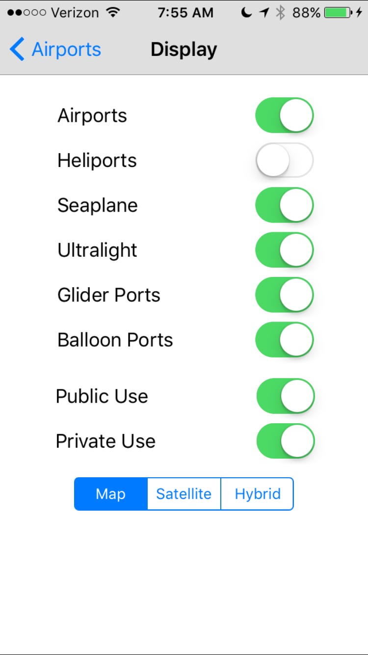 Since there are almost 20,000 landing sites to select from, you may want to do some filtering. The Filter screen provides a way to do this. Since there are almost 20,000 landing sites to select from, you may want to do some filtering. The Filter screen provides a way to do this. |

At startup the app checks to see if there is new data to download. (The data used comes from the FAA and is updated every 56 days. Note the app only contains information about US airports.) |